
Walk a Canton Street Directory
An address search can establish ownership, parcel context, recorded transactions, and some public activity along a Canton street. It cannot establish every occupant. The assessor is a current owner roll, while deeds trace title and plats define the land. A voter file can show registered voters at residence addresses only through its restricted official route. Historic directories and newspapers may name past occupants, but the one verified Canton directory has no published date or confirmed criss-cross arrangement.
Keep the situs address, mailing address, ZIP, PIN or TIN, deed book and page, plat reference, subdivision, lot and block together. The situs is the physical site. The mailing address is where the owner receives tax mail. A legal description identifies the land even when a postal ZIP changes. That bundle lets the street directory move between systems without assuming that a similar street name or owner name refers to the same parcel.
- Enter the street address in Cherokee Spatialest and save the current parcel facts.
- Open the GIS map, zoom to parcel boundaries, and click the target and each touching polygon.
- Follow deed-book/page and plat-book/page links to the recorded land documents.
- Use the lawful voter-file process only when registered-voter address data fits the need.
- For past occupants, check the physical directory, census, and historic newspapers without assuming a reverse index exists.
Turn Canton Addresses Into Parcels
The Cherokee County Spatialest search accepts owner, address, and PIN routes in its current interface. Once a parcel is found, the official GIS layer can expose the complete situs address, owner and mailing address, property city and ZIP, subdivision, land district and lot, zoning, legal acreage, plat book and page, deed book and page, historic parcel card, and parcel-created year. These are separate fields, not interchangeable claims.
| Entry field | Use in a street search | Important limit |
|---|---|---|
| Owner name | Locate parcels tied to a known party | Ownership does not prove occupancy |
| Property address | Find the physical parcel | Choose the suggested location |
| PIN or TIN | Return to one county parcel | May change after a split or combination |
| Mailing address | See the tax-notice destination | May differ from the situs |
The assessor states that its data comes from deeds, plats, and other records and should be checked against originals. A homestead exemption can strengthen an owner-occupancy inference because Cherokee requires ownership and residence by January 1, but it names no other household member.
Browse Canton Streets Parcel by Parcel
Use Cherokee County GIS to see the street as mapped land. Find the target by address or PIN, zoom until parcel boundaries and TIN labels appear, then click the polygon. Click every touching polygon in turn. Compare subdivision, lot and block, road separation, land lot and district, tax district, and the difference between owner mailing and situs addresses. The map becomes a street directory of parcels, not people.
The authoritative parcel service includes current and historic or deleted parcels. Parcel geometry becomes visible below a scale of 1:20,000, with TIN labels below 1:3,000. The layer returns no more than 1,000 records and caps selections at 2,000. It supports distance queries, but no public front-end button labeled Buffer or Radius was verified. Describe and use the visible click-adjacent workflow.
Review the county’s official GIS services and map guidance.
The captured county page identifies the mapping office that maintains parcel, zoning, road, addressing, and annexation information.
Canton Situs and Mailing Addresses
A situs address is the physical location assigned to the parcel. The owner mailing address is a delivery destination for tax notices. One inspected Canton parcel showed different street numbers in these two fields, proving that the system stores them separately. A mismatch may point to an absentee or entity owner, but it does not identify who occupies the site. Even a match cannot name renters, relatives, minors, roommates, or other members of a household.
- Parcel
- A mapped unit of land with a county key.
- Situs address
- The physical location used by assessor, GIS, and permits.
- Plat
- A recorded map showing lots, streets, dimensions, and easements.
- Criss-cross directory
- A printed directory arranged by street or phone rather than surname.
The official GIS configuration provides a valuable shortcut. Deed book and page can link directly to Landmark, plat book and page can open the plat, and a historic-card field can lead to an older parcel card. Save those pivots before leaving the parcel screen.
Follow Canton Deeds Along Streets
Landmark is the address trail’s title step. Start from the GIS deed book and page, then verify the grantee, grantor, recording date, instrument date, and legal description. A grantee is the person or entity receiving the recorded interest. A grantor transfers it. Search the seller as an earlier grantee with a date range that ends before the current deed, then repeat. Preserve land lot, district, subdivision, lot, block, and plat data each time.
Cherokee Landmark publishes local information from 1989 forward. Earlier indexes require OnPoint, index books at the clerk’s public counter, or Georgia Archives microfilm. The counter is open Monday through Friday from 8 a.m. to 4:30 p.m.; staff can assist there but will not conduct deed research by phone. The statewide GSCCCA index begins January 1, 1999 and should be treated as a cross-check.
Compare the official statewide real-estate index.
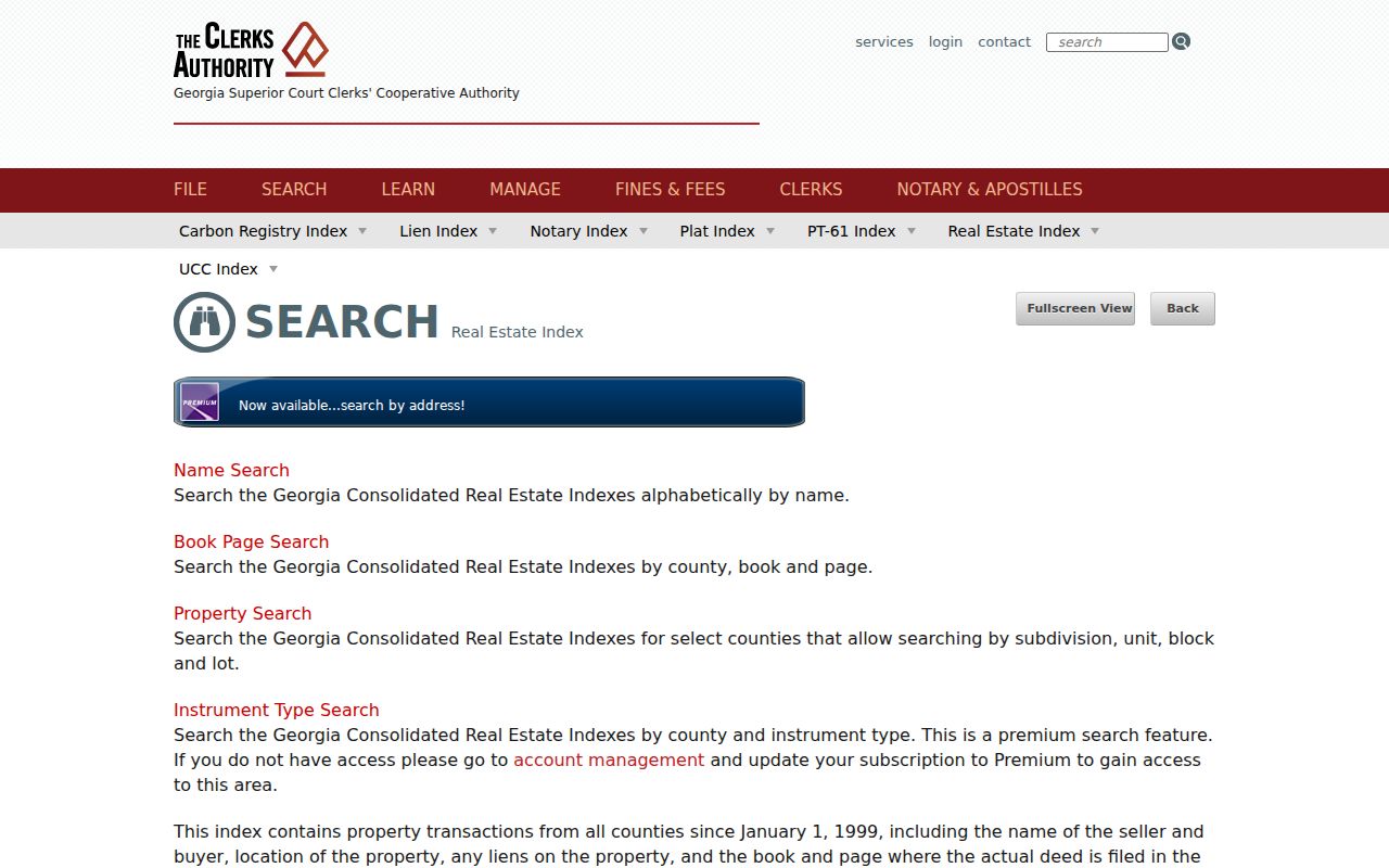
The image shows the statewide access path that can help when a party’s property activity crosses county lines.
Use Canton Plats When Addresses Fail
Street labels and ZIP codes are less stable than recorded land descriptions. A plat can connect a subdivision name, lot, block, roads, dimensions, and easements to the deed chain when a typed address misses. Cherokee County’s older land descriptions often use land lot and district because the county’s property grid grew from the 1832 land-lottery framework. That history explains why a valid older deed may contain no modern street address.
Historic and deleted GIS parcels are especially useful after a tract split or combination. Never force today’s PIN backward unchanged. Compare the old geometry, plat, historic parcel card, deed legal description, and adjoining parcels. The Canton street directory stays on the same land by following those features even if tax keys or postal forms change.
Canton Permits Add Address Evidence
The Cherokee County CityView property locator asks for a property address or parcel number and requires the user to select an existing autocomplete location. County records can include planning, permits, inspections, code cases, and business-license status tied to property. Canton municipal permit records use a different city channel, including the city’s LAMA system or an open-records request when no public result is available.
Jurisdiction must be checked first. A Canton mailing address in 30114 or 30115 can lie outside city limits. Use GIS city-limit and tax-district layers before deciding whether Canton or Cherokee County keeps the permit. A permit dates an application, project, or inspection and may name an owner, applicant, or contractor where public. It does not prove ownership transfer or identify every resident.
See the official county property-and-permit locator.
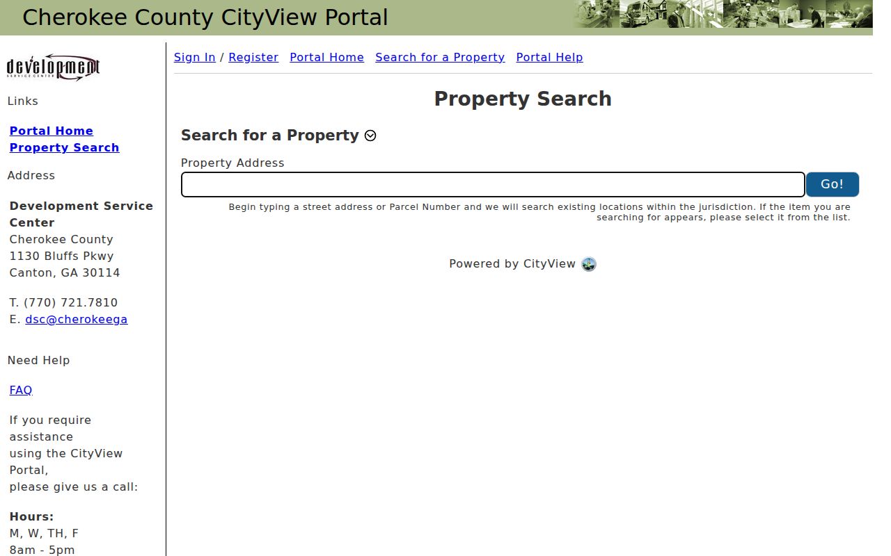
The captured screen confirms that an exact address or parcel selection is the required county entry point.
Canton Records Indexed by Street
The street directory draws on records that use an address directly and records reached through a parcel or legal description. Access differs by custodian, and each row proves a narrower fact than a household roster.
| Record Set | Keeper | What It Shows | Access |
|---|---|---|---|
| Assessment parcel | Cherokee Tax Assessors | Owner, mailing and situs, PIN, exemptions | Free Spatialest portal |
| GIS parcel map | Cherokee GIS | Geometry, legal, zoning, nearby parcels | Free map and official layer |
| Deeds and plats | Superior Court Clerk | Parties, book/page, land description | Landmark 1989-current; counter earlier |
| Voter file | Georgia Secretary of State | Registered voters with residence fields | Paid, restricted official order |
| Permits | County CityView or Canton | Project and address facts where public | Portal or records request |
The parcel key ties assessment and GIS facts together. Book and page connect that parcel to deeds and plats. The street address can reach permits and an authorized voter file, while newspapers and historical directories may add past occupants. Keep each source’s date and limits beside the name it returns.
Canton Voters by Street
Georgia My Voter Page is an identity-gated self-lookup. It requires a first initial, last name, county, and date of birth, so it cannot browse a Canton street. The scalable official route is an ordered municipal or county voter file. Sold-file fields include residence street number and name, direction, street type, apartment, city, ZIP, precinct and district data, registration status, and election participation dates.
Orders are prepaid, nonrefundable, and take about two weeks. The stated price is $65 for a municipality or $70 for a county file. O.C.G.A. § 21-2-225 permits inspection through the registrar but bars commercial use. Full birth dates, Social Security numbers, and driver-license numbers are not included. VoteSafe and other confidentiality protections keep qualifying addresses out of view. An inactive status can reflect maintenance mail and does not establish a move.
Canton ZIP Changes Break Searches
USPS moved 1,184 deliveries from 30114 to 30115 on July 1, 2012. For any address active near that date, search both ZIP versions while keeping the street number, street name, parcel, and legal description fixed. The change was postal routing, not a citywide renumbering. No verified Canton-wide street-renumbering event was found, so one should not be assumed.
A Canton postal line also reaches unincorporated Cherokee County. USPS verifies delivery; GIS verifies municipal limits and tax districts. County GIS updates city boundaries from annexation documents, making its mapped layer the better jurisdiction check. The legal description remains the safest record bridge when a ZIP or displayed postal city changes.
Historic Canton Streets Need Care
History Cherokee holds the Kille/Mullin Canton City Directory Including Ball Ground and Woodstock, but its catalog does not publish a date and no confirmed reverse or criss-cross run was found. Inspect the title page and abbreviation key before treating it as address evidence. The full historical collection is covered on the Canton city directory page.
Digitized Cherokee newspapers span several titles from 1833 through 1965 overall and can be searched by name or address. OCR, which is machine-read text from page images, may miss faded print or unusual type. Try street variants, surnames, businesses, legal notices, and nearby landmarks. Public census schedules through 1950 can then test household relationships and address context.
Canton Street Directory Privacy Limits
No official Canton street directory lists every person who sleeps at an address. Parcel records name owners, not all occupants. Public tools omit many renters, minors, relatives, roommates, utility customers, delivery recipients, and people protected through Georgia confidentiality programs. Driver address data is restricted. A voter file covers registered voters only, follows statutory limits, and withholds protected addresses.
Commercial neighbor products are compiled secondary sources. They may merge stale addresses, people with similar names, and old phone data. Official records also change, but they identify their keeper and can be corrected at the source. Verify a parcel with the deed or plat, confirm a filing with the retained file, and leave uncertainty visible when no second record agrees.
Lawful use. Canton address records support personal, family, property, and civic research. Never use them to stalk, harass, intimidate, threaten, or harm anyone.