
Canton Neighbor Block Sources
Official sources answer different questions about a Canton block. GIS defines parcel geometry and mapped context. The assessment roll names the assessed owner. A plat explains the legal block. Voter information has strict access rules, and permit files show work at an address rather than every person there.
| Source | What It Shows About a Block | Access |
|---|---|---|
| Cherokee GIS | Parcel outlines, owners, mailing/situs, legal, zoning, and tax facts | Free map browsing |
| Spatialest assessment roll | Owner, parcel card, value, exemption, and property fields | Free individual searches |
| Recorded plat | Lots, roads, easements, and subdivision pattern | Deed and plat portal |
| Voter file | Registrants by residence components | Purchased file; statutory restrictions |
| Permit records | Project or inspection activity by address | CityView or city request |
| Planning character areas | Named development context, not people | City GIS and plans |
An owner name can be a useful lead, but it does not prove who occupies the house. A matching owner mailing and situs address, plus a homestead exemption, is stronger owner-occupancy evidence. It still says nothing certain about spouses, children, renters, or roommates.
Map Canton Neighbors by Parcel
The public map workflow is based on adjacent clicks. No visible Buffer or Radius button was verified, even though the underlying official service supports distance queries. Describe and use the interface that can be confirmed: locate the target, zoom to parcel lines, and click outward one polygon at a time.
- Find the target by address or PIN and zoom until parcel boundaries and TIN labels appear.
- Click each touching polygon. Record the property address, owner mailing address, subdivision, lot/block, land lot/district, and tax district.
- Open individual parcel cards in the assessment roll. Compare mailing and situs fields and note any homestead indication without treating it as a household list.
- Check plats and historic parcels where roads, splits, or combinations make the modern block unclear.
The official service displays parcel geometry below its mapped scale thresholds, labels TINs at close zoom, and caps selections. For an entire named road rather than the immediate block, use the Canton street directory workflow.
Inspect the official Cherokee parcel layer and its available fields.
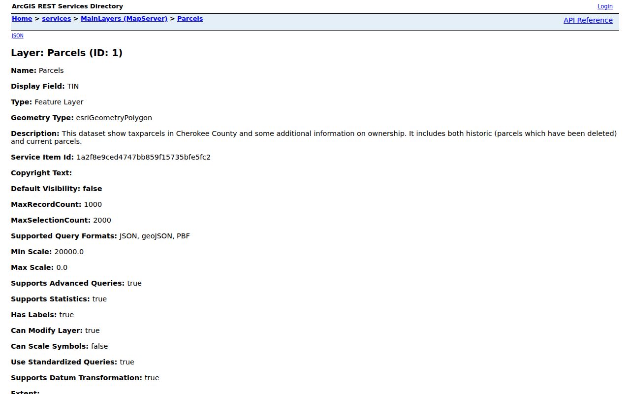
The layer separates property and mailing fields, which prevents an off-site tax address from being mistaken for the mapped home.
Canton Neighbor Map Layers
Canton's official web map adds local context to county parcels. Its layers include city limits, addresses, wards, commercial addresses, approved developments, the tax allocation district, historic district, zoning, vacant parcels, streets, subdivisions, apartments, future-growth boundary, character areas, and police zones.
Open the official Canton web map to compare city and parcel context.
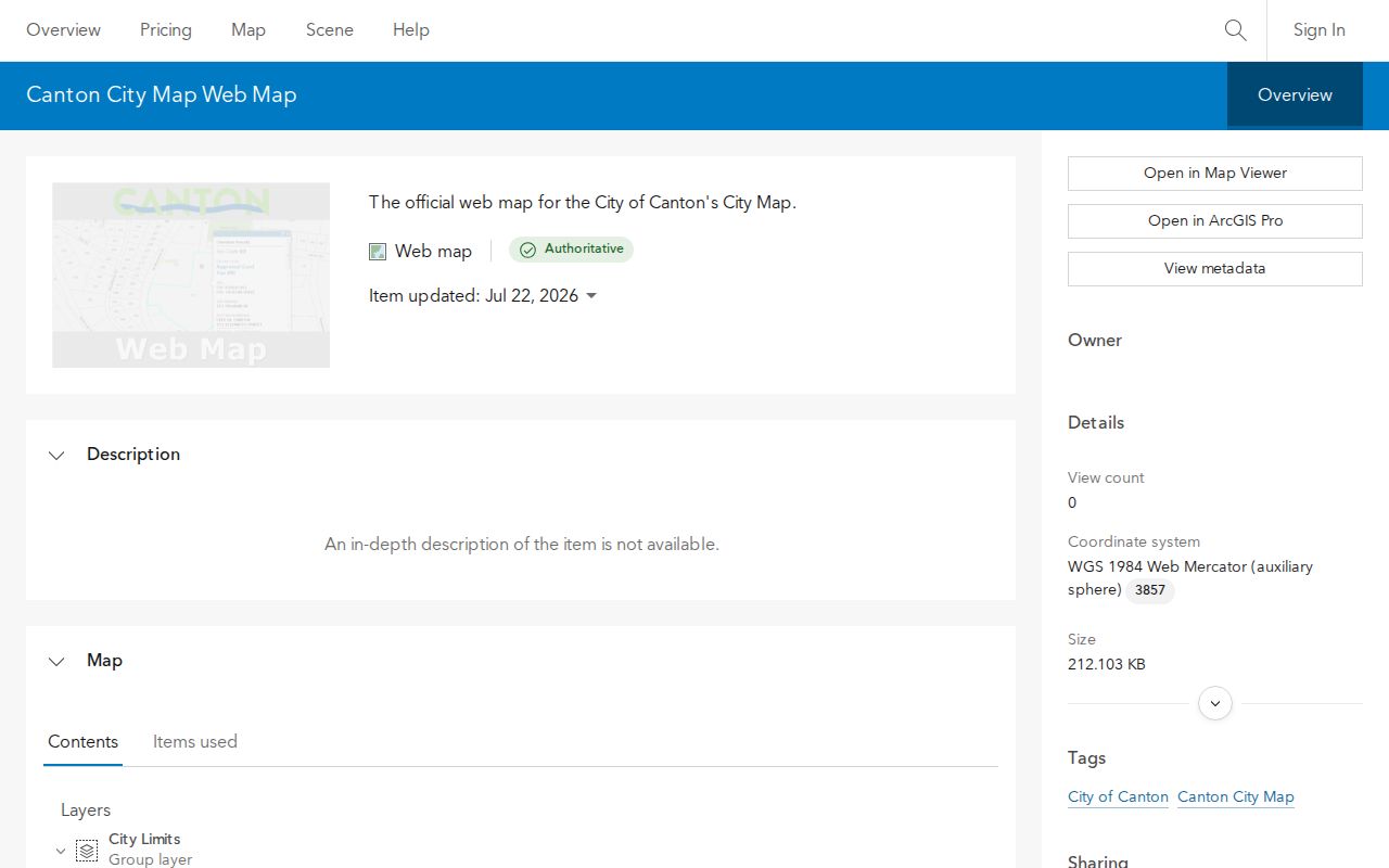
The map can define the block and its jurisdiction. It cannot identify every person living there.
Define a Canton Legal Block
A street-facing block and a recorded subdivision block are not always the same thing. Use the plat book and page linked from GIS to see lots, dimensions, roads, and easements. Carry the subdivision, lot, block, land lot, and district into deed research so the same tract remains in view.
Historic and deleted parcel geometry is important where a large tract was divided or neighboring lots were combined. A current PIN may not exist in older records. The historic-card link and deed or plat pivots can identify predecessor parcels without guessing.
Canton Areas Are Not Rosters
Canton planning uses 25 character areas. Surfaced examples include Emerald Trail, Rolling Hills, Canton West, Etowah Shoals, Governors Walk, and Historic Canton. These names describe planning and development patterns. They are not verified neighborhood associations and do not come with public member directories.
No authoritative, complete Canton association or HOA inventory was located. Private HOA lists, congregation directories, civic-club rosters, funeral-home notices, and block-watch contacts may help only when the organization makes them available. Never imply that a private membership list is a public record.
Canton City GIS
City limits, wards, zoning, subdivisions, character areas, and planning layers.
Cherokee County GIS
Parcel, road, annexation, addressing, zoning, and tax-map context.
Private Associations
Contact the organization directly; access and privacy rules vary by group.
Canton Voters Need Full-File Access
Georgia My Voter Page cannot browse Canton neighbors. It requires a first initial, last name, Cherokee County, and date of birth for an identity-gated result. The official scalable source is a purchased municipal or county voter file, subject to O.C.G.A. § 21-2-225 and its noncommercial-use restriction.
The sold layout can include residence street components, city, ZIP, district assignments, registration status, birth year, and participation fields. It does not publish full birth dates, Social Security numbers, driver's-license data, or ballot choices. VoteSafe and other protected records can shield addresses. An inactive status also does not prove a move.
Official Canton Rolls Compare Better
Commercial neighbor tools combine secondary data and can carry stale names or wrong address links. Official sources are narrower, but each has a known custodian and purpose. Use the category only as an unverified lead, never as a substitute for the parcel, plat, or retained record.
| Source type | Strength | Main limit |
|---|---|---|
| Official GIS and assessment | Current parcel and assessed-owner fields | Not a household roster |
| Recorded plat and deed | Legal land and title evidence | Does not list all occupants |
| Commercial neighbor category | May suggest a name | Compiled, stale, and hard to verify |
Privacy Limits for Canton Neighbors
Parcel ownership, voter access, and recorded plats do not make all life on a block public. Renters, minors, roommates, utility customers, delivery records, and many household relationships remain outside the parcel map. Georgia's Address Confidentiality Program uses substitute addresses for qualifying participants, and VoteSafe protects qualifying voters.
Open-record redactions can also protect Social Security numbers, financial data, medical information, parts of birth dates, and some protected officials' home details. Ask the custodian for a lawful record and accept the required redaction rather than seeking a private substitute source.
Lawful use. Use Canton neighbor records for civic curiosity, reconnecting, and personal awareness. Never use them to watch, harass, threaten, or intimidate anyone.
Canton Permits Show Block Activity
Permit and inspection records can show work linked to an address, parcel, applicant, contractor, or project status where those fields are public. Cherokee County CityView provides an address or parcel locator for county jurisdiction. Work inside the city may instead require Canton's municipal records channel.
A permit is evidence of a project, not every neighbor at the site. It may identify an owner, applicant, or contractor whose mailing information differs from the physical property. Compare the parcel's tax district and city-limit layer before choosing a custodian, since the word Canton in a postal line does not settle jurisdiction.
Recent permit applications shown through Spatialest are also clues, not proof of the building's age. A parcel-created year can reflect a database event, split, or combination. Recorded plats, deed dates, historic cards, and confirmed local maps provide better context for how a block changed.
Canton Postal Lines Mislead Neighbors
ZIP Codes 30114 and 30115 reach outside Canton city limits. USPS also shifted 1,184 deliveries from 30114 to 30115 on July 1, 2012. A nearby address can therefore keep the same parcel and street while its postal code changes, and a Canton mailing label can still describe unincorporated Cherokee County.
Canton's city-limit layer was refreshed on July 21, 2026 from annexation and de-annexation records. Use that layer for municipal status and USPS for deliverability. The two systems answer different questions. This boundary check is essential before requesting city permits, code files, or other local records about the block.