
Canton Previous Resident Sources
No single file lists every person who occupied a Canton address. Deeds establish owners, while directories, census records, newspapers, and death or probate sources rebuild the household layer. Choose the first source by era, then overlap it with a source created for a different purpose.
| Source | Years It Covers | Where Held | What It Shows |
|---|---|---|---|
| Landmark document data | 1989 to current | Cherokee County Clerk online | Grantor, grantee, type, dates, book/page, legal fields |
| OnPoint and counter indexes | Before 1989; start varies by series | Clerk counter | Earlier owner-to-owner links |
| County microfilm | Chiefly before 1900 | Georgia Archives | Deeds, probate, tax, and court books |
| Kille/Mullin Canton directory | Year not stated | History Cherokee | Resident, occupation, and address fields to verify |
| Cherokee newspapers | 1833 to 1965 overall | Digital Library of Georgia | Obituaries, legal notices, and address evidence |
| Federal census | Public through 1950 | NARA and library databases | Households, ages, birthplace, and location context |
For a recent house, start with Spatialest and Landmark. For an early twentieth-century address, use newspapers, census years, and the physical directory lead, then connect the parcel through deeds. Nineteenth-century work often depends on courthouse books, Archives microfilm, and the land-lot grid rather than a street number.
Trace Cherokee County Owners Backward
The chain of title is the sequence of recorded transfers for the same land. Begin with the current assessment parcel, but verify every link against a deed or plat. Cherokee County warns that assessment data is compiled from public records and is not a legal title opinion.
- Search the situs address in Cherokee Spatialest. Record the PIN or TIN, owner, legal elements, deed book/page, and plat book/page.
- Open the purchase deed through Landmark. Confirm the grantee, grantor, dates, and land description.
- Search that seller as an earlier grantee. Try the `Last, First` form, entity spellings, nicknames, and date ranges.
- Repeat to 1989, checking subdivision, lot, block, land lot, district, and plat so the trail stays on the same property.
- Move to OnPoint, counter books, or Georgia Archives microfilm. Use GSCCCA's 1999 start only as a cross-check.
- Grantor / grantee
- The grantor transfers an interest; the grantee receives it.
- Chain of title
- The linked sequence of recorded transfers for the same land.
- Legal description
- Land lot, district, subdivision, lot, block, plat, or other wording that identifies land beyond its street label.
Canton Parcel Splits Hide History
A present PIN should not be forced backward across every year. Cherokee County GIS includes current and historic or deleted parcels. When a tract was split or combined, use the historic parcel card, plat book and page, deed book and page, and earlier geometry to identify the predecessor land.
The record offers direct pivots to deeds and plats, which is useful when a street address changed or a large tract became a subdivision. Separate owner mailing and situs fields also prevent a common error. A tax destination may differ from the house under study.
Review the Georgia Archives Cherokee County microfilm index for older record series.
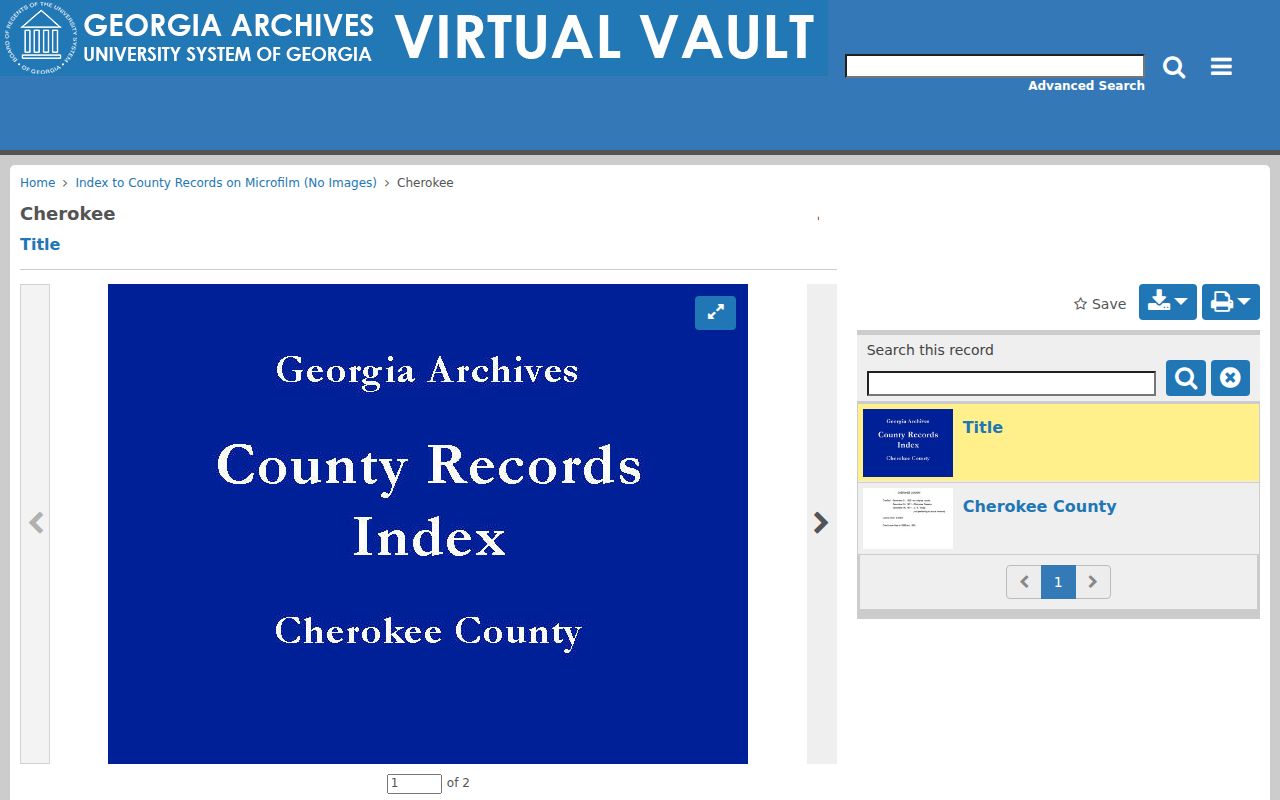
The archive card is a finding aid. Preserve the office, book, dates, and reel before requesting access.
Canton Land Before Street Numbers
Georgia created Cherokee County in 1831 and divided the original territory into ten counties in 1832. Land distribution used the sixth land lottery and seventh, or gold, lottery, arranged through sections, districts, and numbered lots. That grid explains why early Cherokee deeds can identify land with no modern address.
The Georgia Archives land-lottery research page explains this framework.
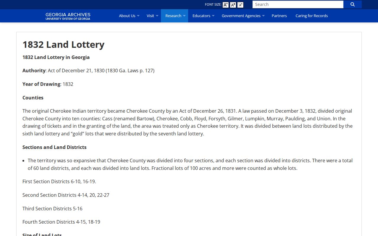
The lottery grid is context, not proof of later title. Move back from the current parcel through plats and deeds before connecting it to an early lot.
Canton Previous Residents Across 2012
USPS reassigned 1,184 deliveries from 30114 to 30115 on July 1, 2012. Search both postal forms around that date, keeping the house number, street, and legal description fixed. A ZIP change does not mean that previous residents moved or the parcel changed.
No verified citywide Canton street-renumbering event was found. The evidence supports a ZIP realignment only. That limit matters because an invented renumbering claim could send deed and newspaper work to the wrong place.
Canton Past Households Beyond Deeds
Owners are only half the story. A renter, relative, boarder, or other occupant may never enter the title chain. History Cherokee's shelf index identifies a Kille/Mullin Canton City Directory Including Ball Ground and Woodstock at call number F292 .DIR, but it gives no edition year. Confirm the volume in person rather than inventing coverage.
- Copy the title page, edition year, key, resident entry, and street guide with staff permission.
- Record the printed name, spouse notation, occupation, employer, and address. Search initials and spelling variants.
- Pair the closest public census year with the directory or newspaper date. Census schedules add relationships, ages, and birthplaces.
- Search Cherokee newspapers for the address, spouse, school, church, obituary, probate notice, or land advertisement.
The collections are described on the Canton city directory page. Here the aim is narrower: connect an occupant to one place and test the match against a second record.
Lawful use. Research previous residents for house history, genealogy, estates, and personal curiosity. Never use the trail to track, harass, or threaten a living person.
Close a Canton Resident Trail
Obituaries and probate files often explain why an owner disappears or how land passed to heirs. Cherokee newspapers span four named runs from 1833 through 1965 overall. Search OCR with initials, spouse names, address fragments, churches, schools, and employers, then corroborate a notice with a deed, census, or vital record.
Georgia's Virtual Vault provides digitized historical death certificates where available. A Canton example shows the name, county and city of death, date, certificate number, age, birth date, and archival citation. Search the official historical death-certificate collection.
The certificate search can close a life event, while a probate packet may identify heirs, inventories, sales, and administration. Neither replaces parcel and deed evidence tying a person to the address.
R. T. Jones Memorial Library offers Ask Us research help by appointment, phone, email, or virtual session. History Cherokee also accepts research-library appointments and holds more than 100,000 local-history items. Those human channels matter when an older volume is not online.
Canton Permits Date Property Change
Permit records can date an addition, repair, inspection, or other recent activity, but they do not prove an ownership transfer or the original construction year. Cherokee County CityView uses address or parcel locating for county work. City records may require the Canton municipal request channel. Check jurisdiction first because a postal Canton address can sit outside city limits.
Spatialest also advertises recent permit applications and recent sales. Treat both as leads. A parcel-created year may reflect a split or database event rather than the age of the building. Compare permit dates with plats, deed dates, historic parcel cards, newspaper notices, and any confirmed Sanborn sheet.
Library of Congress and Georgia projects cover Sanborn fire-insurance maps for Georgia towns from 1884 to 1922, but exact Canton sheet years were not verified. Do not substitute the many Canton, Ohio results. If a Georgia sheet is confirmed, use its footprint, street label, building use, and construction symbols as place evidence, not a resident roll.
Canton Previous Resident Access Routes
Landmark gives the fastest route for indexed records from 1989 forward after its public disclaimer is accepted. The clerk states that online data changes and urges spelling variants. It will not research recorded documents by telephone, but deputy clerks assist at the public counter Monday through Friday, 8 a.m. to 4:30 p.m. A web subscription became $25 per month on August 1, 2025.
Earlier indexes move through OnPoint or courthouse books, and much pre-1900 county material can be located through Georgia Archives microfilm cards. The Archives says identified originals may be used onsite without an appointment, while Ask an Archivist can help identify or pre-pull material. Post-1900 records generally remain with the courthouse.
This split is more precise than calling records online or offline. A recent index entry may be online while its certified copy comes from the clerk. An older deed may survive at the counter, on microfilm, or in a retained volume. Record each custodian, series, date span, book, page, and reel as the trail moves backward.